Managing large-scale infrastructure projects and industrial assets requires a constant stream of highly accurate data. Traditionally, tracking project progress, conducting structural inspections, and mapping expansive terrain meant deploying surveyor teams for weeks at a time. The process was slow, costly, and inherently limited by ground accessibility.
Today, advanced drone technology is turning raw aerial data into smarter, faster operational decisions. By deploying high-performance aerial systems, industries across infrastructure, agriculture, and construction are achieving unprecedented levels of efficiency and precision.
The Power of RTK Precision in Data Collection
In industrial asset management and infrastructure mapping, generic drone data isn’t enough. Millimeters matter. This is where RTK (Real-Time Kinematic) positioning precision becomes a game-changer.
Unlike standard GPS, which can drift by several meters, RTK-enabled drone systems provide centimeter-level accuracy in real time. This extreme precision enables organizations to:
-
Generate Flawless 3D Models: Create highly accurate digital twins of construction sites, stockpiles, and structural assets to monitor deviation over time.
-
Optimize Inspection Workflows: Capture highly detailed imagery of hard-to-reach assets—such as power lines, pipelines, and bridge undersides—without risking human safety or pausing operations.
-
Streamline Volumetric Analysis: Measure material stockpiles instantly from above, replacing tedious manual calculations with rapid, automated data reporting.
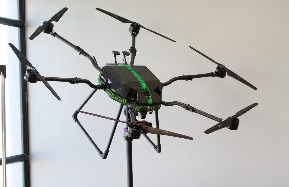
Maximizing Efficiency with Heavy-Lift Capabilities
Modern industrial operations demand hardware that can withstand harsh environments and carry heavy operational loads. Advanced enterprise drones are built precisely for these challenges, offering:
-
Heavy Payload Capacity: The ability to carry specialized payloads—including LiDAR sensors, thermal optics, and multispectral cameras—simultaneously.
-
Extended Flight Times: Up to 60 minutes of continuous flight time ensures that vast corridors of infrastructure or agricultural land can be mapped in a single mission, drastically reducing deployment windows.
Turning Data Into Smarter Decisions
Adopting aerial intelligence isn’t just about buying drones; it is about building a scalable operational toolkit. True efficiency comes from combining enterprise-grade technology with expert consultation and technical backing.
Whether you are optimizing agricultural yields, securing a massive industrial footprint, or monitoring critical regional infrastructure, looking up is the fastest way to streamline your operations on the ground.